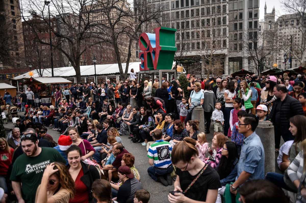
As temperatures soared to 70 degrees on Sunday, Center City became packed with passersby who apparently decided the balmy weather was more interesting than the Eagles game.
LOVE Park, Dilworth Park and the surrounding streets were overflowing with people, many dressed in summer clothes.
While this week is set to get colder, it won’t be by much. The warm weather could last right up to Christmas.
“There is no snowfall in the forseeable future,” said Lance Franck, a National Weather Service meteorologist at the Mount Holly station.
Related link: Missing Philly teen found dead in car
Franck said the forecast calls for temperatures around 60 on Monday, which will be rainy, down to 55 by Wednesday and down to 50 and below by Friday and the weekend. But after that, they could go back up again. The warm weather across the East Coastis caused by atmospheric patterns that are the opposite of what Philly saw this time last year, which are in part related to the reoccurence of El Niño in the Pacific Ocean, Franck said. Related link: Police kill armed man in Pa. Walmart
“There’s been a persistent dip in the jet stream across the western United States. Converse to that has been a persistent ridge in the eastern U.S., and it is creating a southwest flow of air from more sub tropical regions,” he said. Franck said forecasts do not clearly show whethert the warmer weather could mean a harsher winter ahead.
“Some of the indicators are pointing to the possibility that the winter might be a bit one-sided in terms of more of it occurring later in the season,” Franck said. “It is possible that we may see a disproportionate amount of snow during that time, but its only a possibility.” Based on records going back to 1872, Philadelphia on average has its first snowfall of at least a tenth of an inch by Dec. 10.
The earliest snowfall on record was Oct. 19 in 1940. The latest was Feb. 3 in 1995.
‘No snowfall in forseeable future’ coming to Philly
Charles Mostoller
