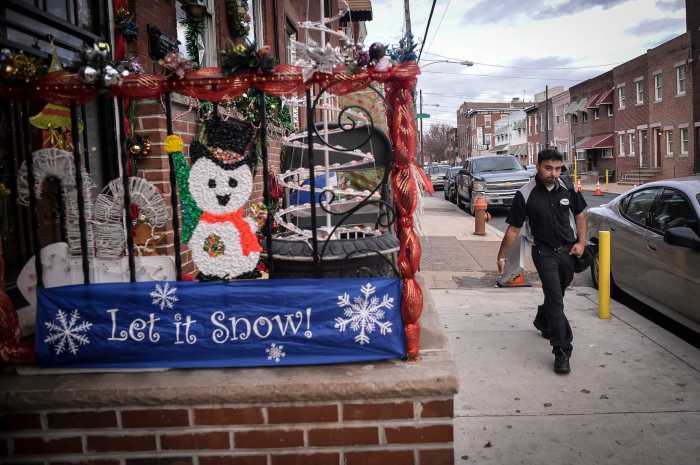

The great snow is coming, and the National Weather Service in Mount Holly is saying it’s going to be even greater than expected – at least in Philadelphia.
In a bulletin released at 7:08 p.m. Friday night, the NWS explained that “significant changes were made with the forecast this afternoon regarding snowfall amounts.” The movement of the system some forecasters are calling Winter StormJonas has shifted, placing the storm closer to the Philadelphia area. RELATED: Bolaris’ Weather Watch: Paralyzing snowstorm could paralyze DC, Philly, NYC “This farther north trend puts SE PA (including Philly), S/C NJ and the NRN Delmarvaunderneath the axis for the heaviest snow,” the agency announced. “Forecast snowfall amounts in these areas were increased by almost a half foot, resulting in storm total accumulations of 16-24 inches” in and around Philadelphia.
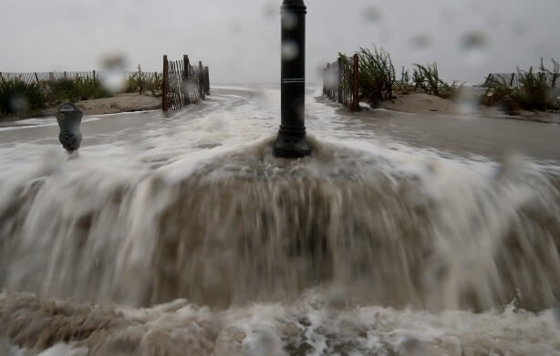
Additionally, forecasters warned that blizzard conditions will make travel near impossible around the I-95 corridor all day on Saturday.
Snowstorm forecast upgraded, additional half foot expected in Philly
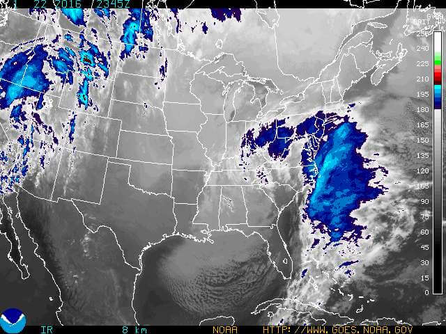
National Oceanic and Atmospheric Association